Freeway Free in California: Exploring Pt. Reyes Seashore (Day 2)
 We got the fog we had hoped for on our second day at Point Reyes. Since we had part of the area south of our home base on our first day, we decided to head north from our base at the Cottages along Sir Francis Drake Boulevard. We stopped at the first trailhead aiming for Abbotts Lagoon, which the Pt Reyes website trail guide recommends as “an easy stroll with good spring wildflowers and excellent birdwatching in fall and winter.” Since we were visiting in summer, we lowered our expectations, but the “easy stroll” part seemed very attractive.
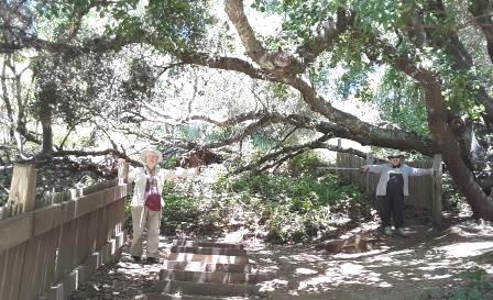
Near the entrance to the trail, a posted sign advised us that a family of river otters might be seen from the bridge across Abbotts Lagoon. We set off eagerly, as we had not scored any exotic wildlife the previous day. But we were soon distracted from the possibility of otters by the very real abundance of wildflowers. I often count how many different sorts of wildflowers I encounter on a hike, but this time I simply lost track. So many colors and varieties, inhabiting every niche from wetland to sand dune! What must it have been like in spring?


OK, we struck out with the otter family – they must have been fishing up a different creek. But we couldn’t feel deprived.
Back at the car we were beginning to feel a bit peckish, and decided to have our picnic lunch at the Historic Pierce Point Ranch at the end of the road before exploring the Tule Elk Reserve at Tomales Point, the northernmost finger of the National Seashore. 
By early afternoon it was quite windy, and there were no visible picnic tables at the Ranch. Fortunately, we had thrown a couple of folding chairs and a small folding table into the trunk. We set up our small feast in the lee of the raised trunk lid, and managed to feast on crackers, cheese, and fruit without seeing our lunch blown away.
Having missed out on sea lions and river otters, we were not sanguine about the prospects of viewing elk at the Tule Elk Reserve. But we set off on the Tomales Point Trail, and almost as soon as we got past the last of the farm’s outbuildings, W pointed out our first elk, a cow moving slowly across the slope ahead. W got out the binoculars and cried “There’s another one, a buck with antlers!” I looked but could see nothing where she pointed but a large sandstone boulder. Then with the binoculars I was able to make out a dark head and antlers attached – the “rock” was the light tan body of a massive stag. 
As we continued along the trail, the wind picked up, and the chill factor increased, but every time we thought of turning back, we would come upon another group of elk down in the valley, or trooping across the road ahead. Finally we reached the point where the sign warned us that the trail ahead was “unmaintained.” We took that as a turnaround indicator.
Tired but thrilled by our success at elk viewing, we ended our day at a local eatery touted as having “a beautiful location on Tomales Bay”. Tony’s Seafood Restaurant‘s bayside location was pretty much moot, as the fog was thick and low by dinner time. Still, we enjoyed the :very good food” and “nice casual atmosphere” as a reward for our wind-blown tenacity at the elk reserve.


 We fled the South Bay expecting a foggy few days on the Marin coast. To our surprise, the fog held off on our arrival, so we took advantage of the sunshine before we even checked into our lodgings. Our first stop was the Visitors Center at
  The Earthquake trail follows the natural escarpment where the San Andreas Fault skirts the edges of the California coastline before disappearing into the sea towards Alaska. It’s a shady stroll through pastureland and underneath gian twisted bay trees. Along the trail are interpretive placards explaining earthquake geology, plate tectonics, and the effect of the Fault on California geology. A line of blue posts marking the center line of the fault marches along the ridge above the trail. The high point of the walk is a point where two halves of a fence have been offset by almost 15 feet – the result of the ground movement in 1907, when action on the Fault caused the disastrous San Francisco Earthquake and Fire.


 It’s summer, and even in a “Mediterranean climate” the thermometer’s are nudging 90. Time to head for the coast, but not the boardwalk-bordered surf beaches of the southern California coastline. We are heading for the fog on the west coast of Marin County, the relatively empty corner of the Bay Area north west of the Golden Gate Bridge.
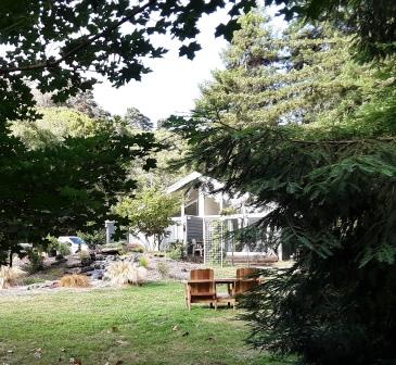 Feeling very happy with our first meal choice, we turned north up Highway 1 to our hideaway cottage in Inverness. The


 We had planned to leave at 7AM for
  With a sigh of relief, I spot a privy decorated with a cowboy mural down a little side road. The Visitors’ Center is 17 miles further on. The gravel road is bordered with ocotillo (long slender bare dead-looking sticks with flames of bright red flowers blooming at the tips) and Spanish bayonet (giant pompons of green narrow leaves cupping a torch of white and pinkish downward-facing blooms) and lots of bare earth where the cattle have grazed and platinum blonde grasses where they have not.

 After about an hour of jouncing over mostly-pretty-good gravel road, we get to the Visitor’s Center, a plain building with a minimal gift shop and a sign saying “Welcome to the Other Side of Nowhere.” The center also offers an up-to-date set of rest rooms with cool running water, and a friendly ranger who supplies us with trails and suggestions. We decide to eat our lunch at the lone picnic table under the lone bit of shade, and then head out on the Horse-Trap Trail that promises a view out over the central interior of the park, and possible encounters with local wildlife.


 If you are going to spend time in the desert, it’s best to know what you may be seeing, smelling, and getting stuck onto. The Chihuahua Desert Research Institute and Botanical Gardens, about 10 miles east of Ft. Davis, provide a convenient and comprehensive introduction.


 We weren’t very far off of Interstate 10, the scarlet ribbon on our map which bisects West Texas between San Antonio and El Paso, when we pulled off at
 The oasis is now civilized, thanks to the efforts and energies of the Civilian Conservation Corp in the 1930’s. The swimming pool fed by the spring is now enjoyed by families and scuba drivers (in the deep part). No thirsty mules or cattle are allowed to approach. There are changing rooms, picnic tables, and a snack bar. But the presence of abundant water in the midst of the sagebrush is still miraculous.
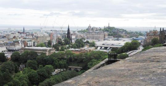
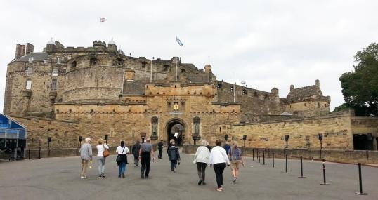 I can’t say I knew Scotland better after a whirlwind tour, and certainly gained no real insiders knowledge of its captital, Edinburgh. So I will give you a bullet list, and some photos, and leave you to explore this fount of history and legend as you will.


 The uncharacteristically lovely weather continued as we stopped in Helmsley. It was Friday, Market Day, and the square was full of stalls offering everything from greeting cards to cabbages. The window boxes were cascading with flowers, and inside the city hall vendors stood proudly behind tables teeming with meats, cheeses, and jellies all produced locally.


 I’m a lifelong fan of


